We planned a trip to hike in the Glacier and Revelstoke NP over the Thanksgiving weekend.
We got a late start out of town and only managed to make it to the municipal campground in Revelstoke as all of the provincial and federal parks have been closed for camping.
There were a few European RV campers and local hunters dispersed in the campsite which is right in Revelstoke near a small lake.
 |
Colours were changing in the trees and temperatures were still a bit above
freezing. Almost had the place to ourselves.
Have a nice meal around the fire that night. Haven't been in our TC since June. |
 |
Lake is steaming because of the difference in the temperature between the air and water.
|
 |
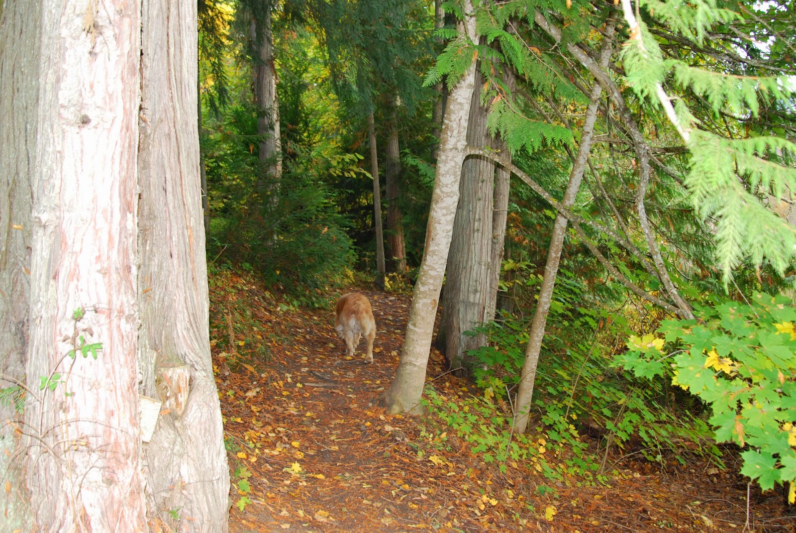
| Go for a quick walk in the trees around the lake. |
 |
| Mount Begbie, a favourite hike for locals, is capped with snow. Will not be hiking up there this weekend. |
We head up to Glacier NP and find out that the campgrounds are closed and the portable bridges have been removed because of potential damage from avalanches. Also, there is a warning that a grizzlie sow and 2 cubs have been sighted the day before in the area.
 |
| Start hiking up the Perley Rock trail which accesses the Illecilliwaet glacier. I had been hoping for sunshine for some great photos but the weather looks overcast. Pat rearranging cloths as we climb up towards he glacier. |
 |
| Where the bridges have been removed, we have to hike upstream or down through slide alder (bushes that survive in avalanche paths)to get the best place to cross. If it was summer and we had sandals, it would not be a problem but the water is too high, rocky and cold to just walk across in bare feet. |
 |
| There are still 3 creeks to cross up ahead. |
 |
| We have reached the snow line and find fresh grizzlie tracks crossing the trail. Pat is uncomfortable as there are no other human prints in the snow and we are 2 hours from trail head so we head back down. |
 |
| Looking across the valley as we head down. Clouds still hanging in there but no snow yet. |
 |
| Thought we should try another hike up Glacier Crest Trail as it was still not late in the afternoon. Climb 2000' til we hit snow. |
 |
| Ruudie smells something. Pretty big footprints. |
 |
| Not a lot of snow across the valley but it is still early.These mountains are crazy busy during the winter due to the excellent snow sports(skiing, boarding,in the park, sledding, outside the park). A 40' base is not that unusual. |
 |
| Mt. Sir Donald is right next to us. |
 |
| Looking over at the mountains accessed by the Hermit trail. Managed to make it up to that area in the summer of 2011. |
 |
| Pat looking down on the parking area and the Trans Canada highway near the summit of the Rogers Pass. |
 |
| Coke flavoured icicle. |
 |
| Because the campgrounds were closed and we wanted a fire, staying in the parking area at trail head was not an option so we headed south and turned off at Jumping Creek FSR. Kind of ugly camping spot but firewood was 20' away, creek 200' and no one was working on the industrial building next to us. |
 |
| Surrounded by mountains, had the place to ourselves. OK, so there was a train every 1/2 hour and the Trans Canada ran above us but at least we are kinda in the bush. Had a nice fire that evening and then it is off next morning to do more hiking in a Glacier NP hoping to see the sun. |
 |
| We start out hike today going by the remains of Glacier House , a hotel that serviced the railway and guests who were guided up into the mountains in the early days. |
It was built in the 1880's and was finally dismantled in the 1920's.
 |
| A rusting boiler in the basement is one of the few signs that a major hotel stood on the site for 50 years. |
 |
| Concrete footings still mark the foot print of the original building. Originally, the CPR tracks ran by the hotel and up over the Rogers Pass. Now, all of the trains pass through 2 tunnels that were bored underneath the Trans Canada highway and Rogers Pass , the first one finished in 1916 and the second, 1988. The avalanches were so disruptive that the tunnels were the only options. At times, whole trains were buried by the snow. Now the highway follows the original rail route but constant artillery shelling keeps the avalanches from getting too big. |
 |
| Start the hike up on the Great Glacier Trail. Still overcast so any photos we will take will not be what I had hoped. Pat with breakfast. This is the interior wet belt and the vegetation is green and lush. |
 |
| As we climb, the clouds roll in promising snow. |
 |
| When Glacier House was built in the 1880's, the Illecillewaet glacier started just ahead of where Pat is on the rocks to the right. Now, you have to hike another hour over steep smooth rock to access the ice. |
 |
| Getting close to the tongue of the glacier. |
 |
| Last look across the valley. In the winter and spring, all of these areas would see a lot of human powered skiers and boarders. |
 |
| British Columbia's official bird, The Blue,Annoying Squawker. Actually, it was making a lot of noise because we had our dog along with us. It's official name is the Stellars Jay. |
 |
| As they had taken out all of the temporary bridges making crossing creeks difficult, we head away from Glacier NP to Lake Revelstoke and drove down a narrow(lots more scratches across the plastic windows) bush road and found a nice, room for only 1 TC camping spot on the lake. |
 |
| It was on quite a slope and even with levellers, we were still on at least a 6% angle. Glad I have a compressor fridge. |
 |
| No one around for miles. After supper, it is time for thoughts around the fire. It is so quiet, I think I can hear Mrs. Crosscheck thinking. Scary. |
 |
| Next day we drive up Mt. Revelstoke and are told that the road is closed after 20kms because of snow. Guess what? It's sunny. |
 |
| It's a 6 km hike to the top and from there, depending on the depth of the snow, you can go anywhere. |
 |
| Easy going as the snow is only 4-6". Heading up through the bush following the trail which starts near the Trans Canada, 10km below. |
 |
| Crosscheck looking a little old and grey around the gizzard. |
 |
| Pat standing on top of the Mt. which is really just a pimple compared to the ones around the area. There is an old fire look out just behind. You really do get a great 360' view from up here. |
 |
| Just a few shots of the area as I pan 360'. |
 |
| Looking towards Glacier NP and where we were yesterday. Glad we finally got some sun. |
 |
| Pat and Ruudie tromping off through the bush. Easy going as the snow is light and only a 1' deep. |
 |
| Snow still pretty cold and dry. It acts as an insulator so your boots never get cold or wet. |
 |
| Such a nice day with the sunshine, it's hard to stop walking around the area. |
 |
| Nobody has a care in the world. Only thing missing is a wine skin and an insulated, lounge chair. |
 |
| OhOh! Way too big for dog prints. |
 |
| Lucky we have Ruudie, the great Canadian bear dog. Tracks look like less than a days old. |
 |
| Black bear tracks. Too small for grizz and nails are not pronounced. Looking for a nice cave to den up in or some nice haunch of human. I think we will give him a wide birth as they can get cranky at this time of year. |
 |
| Should have brought my skates and stick to play a little shinny (informal, no ref hockey)and do some crosschecking(illegal , 2 handed hitting with your stick). Ice is plenty thick for some hockey. |
 |
| Air is clean, snow is fresh, all is quiet in the mountains. Why would anyone want to go south in the winter when you have this as a playground? |
 |
| Looking over to the Revelstoke ski area. |
We leave paradise and take the trail back down to our truck. It is only a 1.5 hr drive back home and the roads bare and dry. Too bad that the TC has to be put to bed but as we speak, the Crosschecks are already planning that TC fun in the sun holiday after a winter of skiing in BC.
Keep your tips up and stick on the ice.
The Crosschecks


Beautiful! Thanks for posting -- I hope you folks enjoy the winter as much as you enjoyed that summer in Europe!
ReplyDelete